Jalalabad airport offers regular flights to Bishkek and some charter and seasonal routes to other points in the Kyrgyz Republic. Otherwise, transportation is all overland.
Osh city is only 130km south of Jalalabad, Bishkek is 565km to the north-east, and Naryn region and Issyk Kol can both be reached during the warmer months on a rough mountain road via the town of Kazarman – which is also the starting point for trips to Saimaluu Tash.
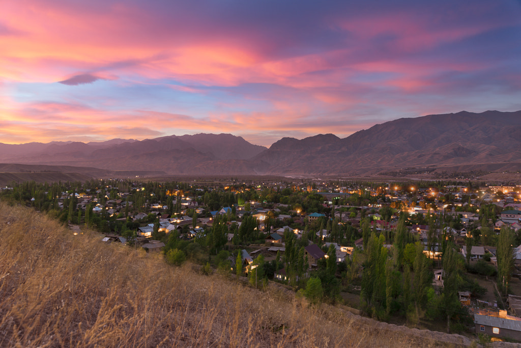
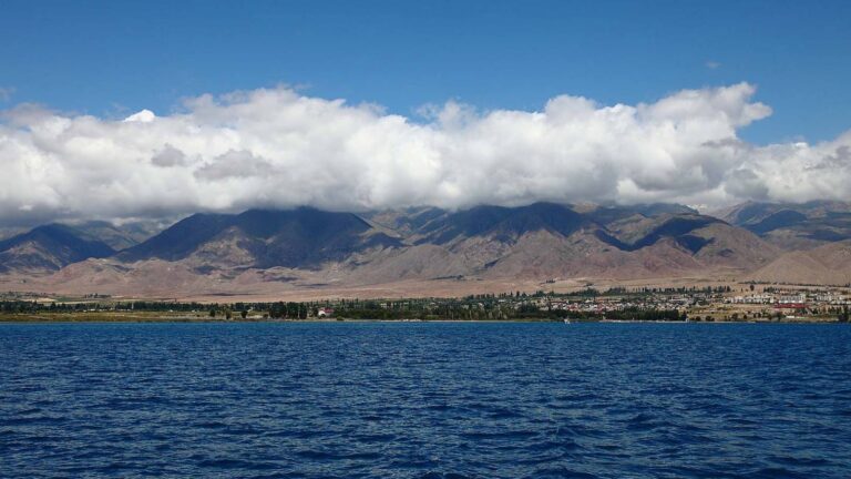
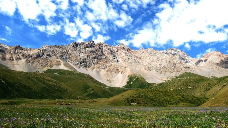
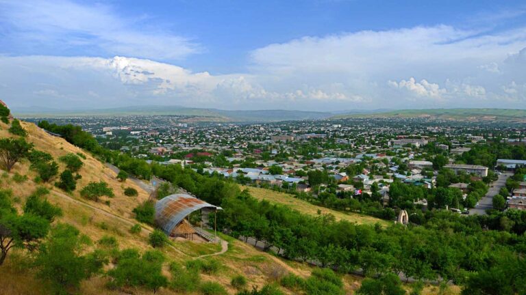
Jalalabad city has excellent dining and a colourful open-air bazaar to explore, as well as the rustic Soviet-era Jalalabad sanatoria. Beyond the city, the Chatkal mountain range stretches 80km to Toktogul town and reservoir and encompasses the surroundings of Arslanbob, with alpine lakes large and small scattered throughout and accessible on foot, horseback, and some by 4×4. In the southeastern corner of the region, Besh Aral State Nature Reserve is almost totally unexplored.
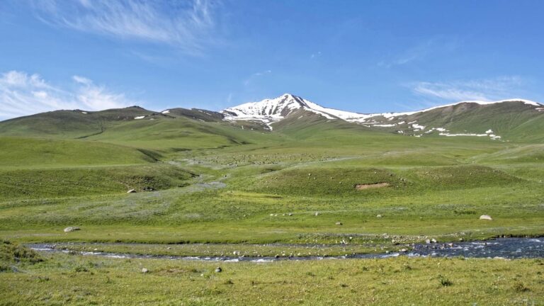
Northeast of the city, the town of Kazarman is a starting point for trips to the 10,000 petroglyphs of Saimaluu Tash, as well as the rarely-visited Besh Kol plateau and five low-altitude mountain lakes that see just a few tourists and a handful of local fishermen each year.
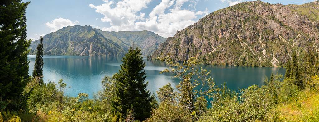
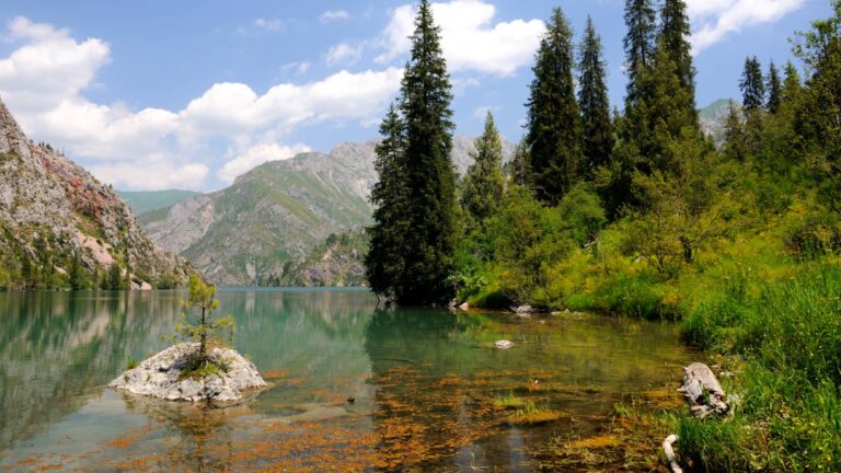
Northwest of Jalalabad, turning off the main highway at Tash Komur, Sary-Chelek Biosphere is a popular day trip for locals, and is only just becoming popular for international visitors, who arrange multi-day hikes and horse treks from neighbouring Kara Kymush lake through CBT Karasuu. Local guesthouses at Karasuu and in the village of Arkit make this an excellent destination, and the relatively low elevation of Sary-Chelek lake (1880m) means it is still accessible long after other mountain lakes across the country are snowed-in.
Jalal-Abad Region was formed on November 21, 1939, and in 1959 it became part of the Osh region. Later, in 1990, due to the rapid growth of the population it was separated from Osh. The total area of Jalal-Abad is 33.7 thousand km², the region occupies about 17% of the territory of Kyrgyzstan.
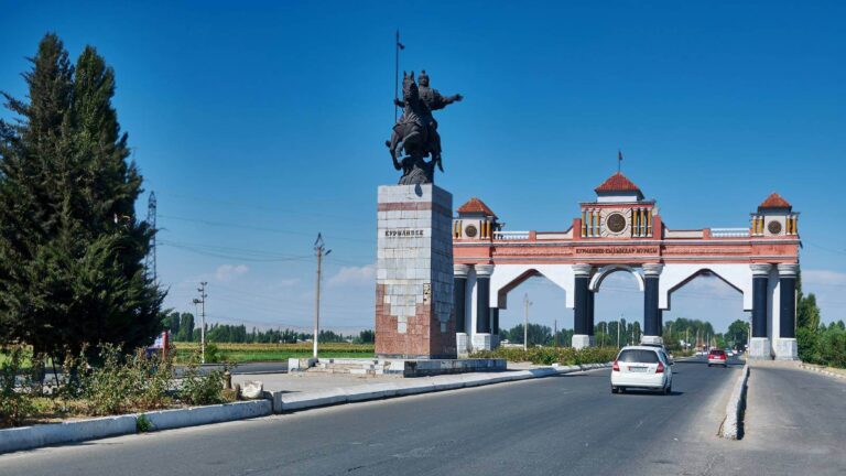
It is said that Jalal-Abad was named after Jalal ad Din, who was renowned for setting up Caravanserais to serve travelers and many pilgrims who came to the holy mountain. “Abad” is a part of Asian city names commonly attached to the name of the city’s founder or patron.
There are many legends linked with the appearance of the city of Jalal-Abad. All of them are somehow connected with the name of the Khorezm hero, Jalal Ed-din. One legend contends that during the time of the Kokand Khanate, a rich bek had a servant named Jalal who was incredibly handsome. The young wife of the bey fell in love with Jalal, the guy reciprocated her. One night they decided to run away from the old bek, slowly brought the best two horses out of the stall and galloped towards the mountains. But the Bek equipped a pursuit, ordering the servants to beat off his wife and kill Jalal.
Events
Destination Jalalabad organises the Sumulok Festival celebrating the traditional dish during the Nooruz holiday on March 21st , and an National Cuisine Festival in August that features foods of the region’s two major ethnic groups: Kyrgyz and Uzbek. In the village of Arslanbob, the local CBT organises a Ski Challenge event in January, a Bike Challenge race in May, and a Walnut Festival in October.
Gastronomy
Influenced by a large Uzbek population, Jalalabad’s cuisine is itself reason enough to visit the region. Excellent shashlyk (grilled meats) and plov (Central Asia’s rice dish with meat) are a given, but people also use a broad range of spices and ‘noukat’ chickpeas that add even more flavour and depth to the dish. These are especially delicious when made with long-rain rice from the town of Uzgen in Osh region.
Jalalabad is also known for its natural mineral springs, and shorpo noodle soup with meat and vegetables is a popular lunch dish held to be full of minerals and nutrients that satisfies during a long day on the road or trail.
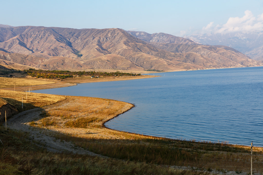
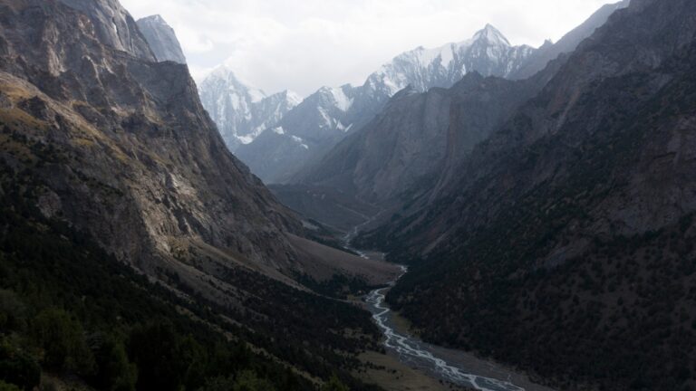
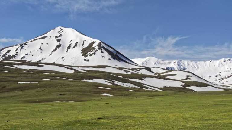
Jalal-Abad Region covers 33,647 square kilometre (16.9% of total country’s area) in central-western Kyrgyzstan. The southern edge of the region is part of the Ferghana Valley. The rest of the region is mountainous. But these mountains, in contrast, for example, Chui or Naryn regions are somewhat lower.
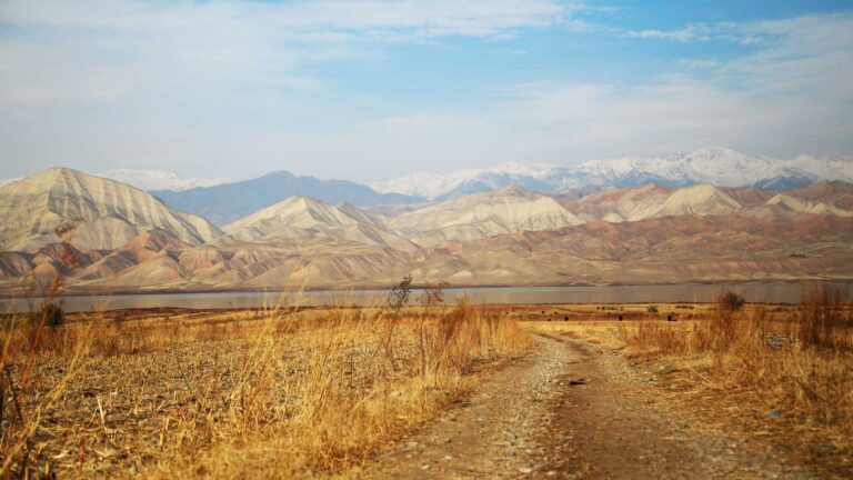
The Western Tien Shan that begins here is very different from the Central. The climate here also differs quite strongly from other regions. Despite the large number of mountains, temperatures are higher on average and the mountains are drier due to the influence of the large and hot Fergana Valley. This proximity of mountains and valleys allowed many amazing natural attractions to appear in the mountains of the Jalal-Abad Region.
The most striking example of the mountain beauty of the Jalal-Abad Region is the lake and surrounding Biosphere Reserve of Sary-Chelek, a habitat for 1.000 different plants and rare mammals such as bear and lynx.
The cultural diversity of the area is also very surprising as here rather than elsewhere Kyrgyz nomadic culture and the settled Uzbek culture meet.
The economic development of the Jalal-Abad region is determined by the development of industry, agriculture, construction, transport, communications, trade and catering industries, and social development by the level of social welfare facilities and utility development, education, science, health care, culture, etc.
The Jalal-Abad has the forth-highest share of industrial production because it is an important energy generation center, with the major hydro-power plants of Kyrgyzstan being situated on the river Naryn.
Energy has the highest share of industrial production of Jalal-Abad (43%), followed by the metallurgic sector and petrol (35%).
Most of the agricultural products were produced by the peasantry (62.2% in 2000), which specialized in cotton, tobacco and vegetables cultivation. In recent years, sugar beet and other crops have been grown on the territory of the region for the production of vegetable oil. The livestock sector provided 37.1% of the total agricultural production. Sheep breeding, goats breeding, cows breeding, horse breeding is very well developed.
The Jalal-Abad region has developed automobile, railroad, aviation and pipeline transport. The train line runs from the Ferghana Valley northeast about 30 km to Kökjanggak.

