
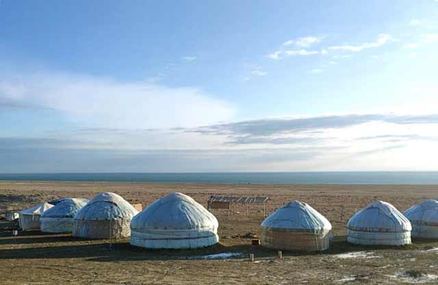
Getting There
Due to the fact that, on the off-road territory, you need to go there only in off-road vehicles
What to Expect
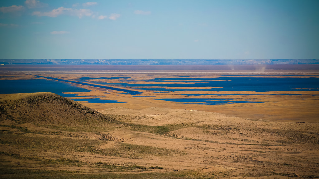
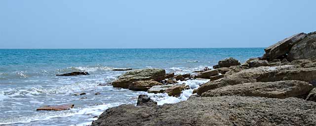
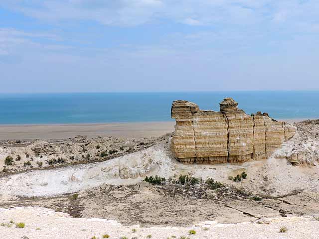
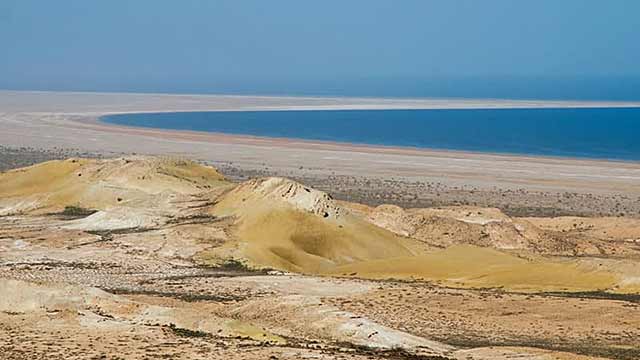
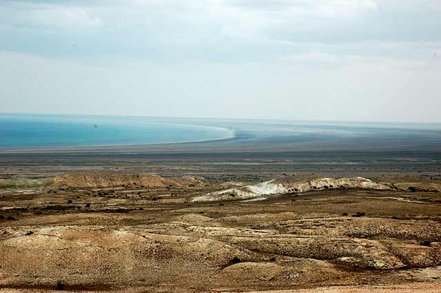
You can see a beautiful landscape: horse horses, the Ustyurt plateau and at the same time the result of an ecological disaster.
The Aral Sea originated in the Turan lowland in the post-Pliocene epoch (Pleistocene). The volume was 66458 square kilometers. The volume of water is 1022.6 square kilometers. The average depth is 16 meters, the deepest place is 68 meters. Salt in water 10-11% in summer the temperature was +24 +25 degrees, and in winter -7 -13.5 degrees.
There was a lot of sand in the Aral Sea, from the south-west it was surrounded by the height of Ustyurt. It was part of the ancient Sarmat Sea.
In 1950, the Aral Sea was 426 km long and 284 km wide. The sea is 86% water and 4% dry. The Aral Sea is located 60 degrees across the globe.
History
In the middle of the Cenozoic era, or 21 million 1200 years ago, the Aral Sea was connected with the Caspian Sea. Earlier, the Amu Darya, with the help of the Uzboy canal, poured into the Caspian Sea, and the Torgai River poured into the Aral.
The Aral Sea was called differently. This can be seen from the work of travelers and land seekers. For example, in 865 Ibn-Khordatbek called the lake “Kurder”, in 943 Masudi called “Kurzhani”, in 961 Istakhri called “Kazbin”, in 1339 Khafazi called “Abruda”, In the XIII century Bekron wrote the lake “Lzhent” …
The real name of the sea is first encountered in Russian writing in maps and documents of the era of Peter I. In the second half of the 16th century, a map of the state of Moscow and the districts that were located in a nearby territory was made. It was called “Big Line” but has not survived to our time. Additionally, all objects shown in 1627, a book called “The Book of the Big Line” has come down to our time and there the sea was called the Aral Sea. The Arabian scientist Ibn Rusta called this sea the Aral Sea in 903.

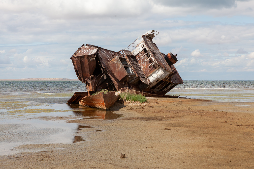
The Aral Sea was considered one of the largest lakes in the world. In terms of volume, it was in fourth place, after the Caspian Sea, Lake Superior in North America and Lake Victoria in Africa. The total area of the Aral Sea without islands until 1961 was 66.1 thousand square kilometers, the maximum depth was 69, and the average depth was 16 meters, the volume of water was 1064 cubic kilometers, the salinity of water was 10-11 grams per liter and was of great commercial importance. The average annual catch of valuable fish species was 25 thousand tons, and more than 20 million cans of canned fish were produced, and up to 1 million pieces of muskrat skins were procured. The sea and fishing fleet had at its disposal more than 500 vessels of various displacement, not counting small boats and other floating facilities.
Since the 60s of the last century, the era of decreasing water in the Aral Sea began. As a result of the drying up of the Aral Sea, enormous damage was caused to the national economy and the population not only of the Muynak region, but of the entire Karakalpakstan. Since 1979, maritime navigation has ceased, and since 1984 the sea has completely lost.
Facilities Available
No facilities


