By Bus
Minibuses from Tbilisi to Mtskheta are readily available and leave frequently. Bus to Stepantsminda frequently stops in Gudauri, Pasanuri, and Ananuri; however, it is possible to find a minibus with its final destination of Gudauri and Pasanuri from Tbilisi.
By Car and Taxi
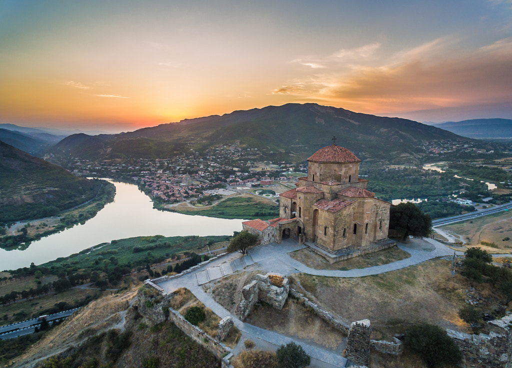
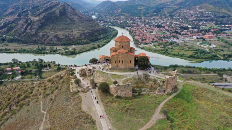
The primary way to get to Jvari Monastery is by taxi from Mtskheta. You can easily catch the taxi parked near Svetitskhoveli.
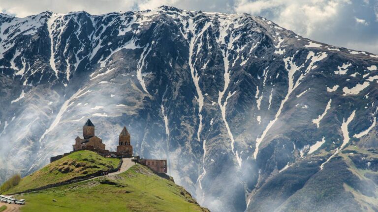
Most people reach Gergeti Monastery by taxi from Stepandsminda, although hiking up the mountain is also a good experience to feel the real freedom of Gergeti Monastery Mountain.
Mtskheta-Mtianeti is served by two primary roads–the S-1/E-60, which runs from Tbilisi through Mtskheta and then on westward to Poti.
The S-3 runs from Mtskheta to the border with Russia, where it then turns into the E-117. This is the only road link to Russia, which is in the village of Stepantsminda. The mountain resort Gudauri is on this road along with the picturesque Ananuri Fortress and Dusheti village.
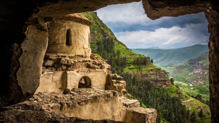
Mtskheta-Mtianeti is rich with an excellent nature and cultural monuments dating back to different periods.
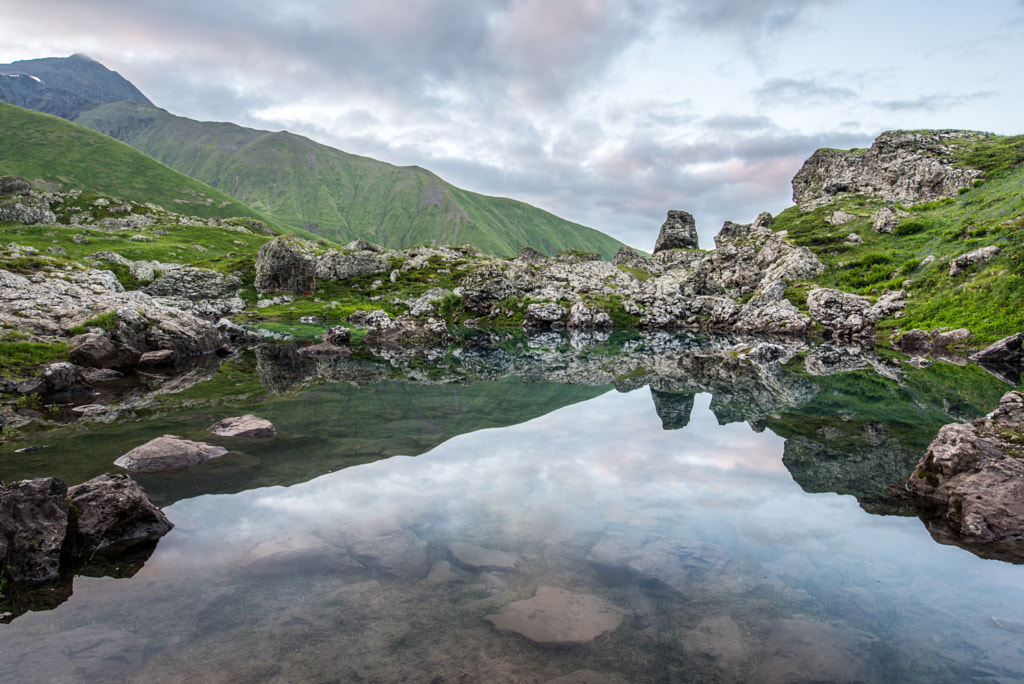
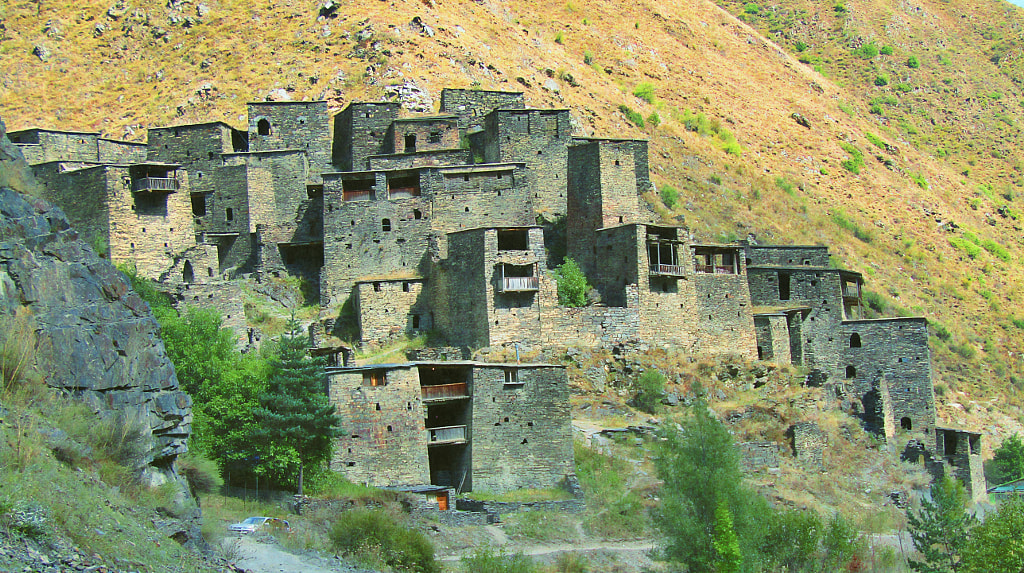
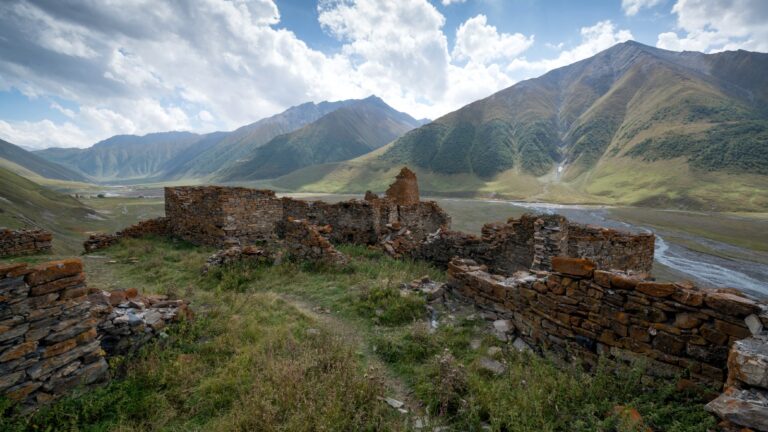
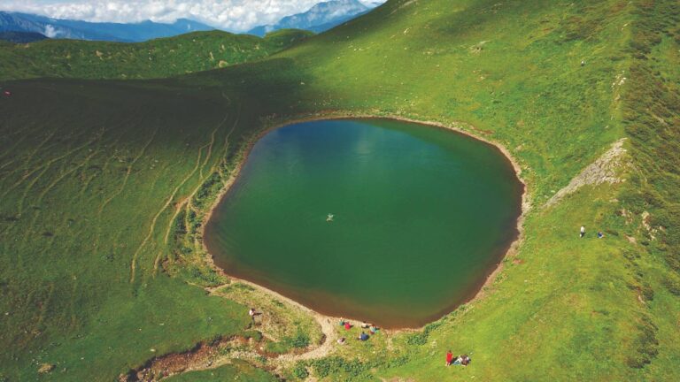
You can find pre-Christian towns, Khevsurian houses, castles, and temples here. The valleys, lakes, waterfalls, mineral springs, vast fields, and peaks are tremendous pleasure and adventure for travelers, adventurers, and extreme lovers.
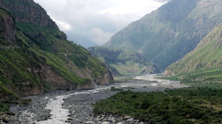
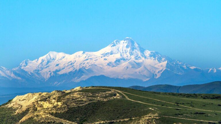
Georgian Military Highway, one of the world’s most beautiful roads, winds its way up this region, through steep wooded valleys, up ravines, and finally over the 2,300 meter Cross Pass and down again. The area takes in the fantastic Kazbegi region, home to glaciers, gorges and the 5,047 meter Mount Kazbegi, and the cultural treasure trove of Khevsureti and Georgia’s most developed skiing resort at Gudauri. Best of all, the province is just a short drive away from Tbilisi.
There’s plenty to do in the region, from absorbing the culture to creating your own exhilarating adventures. Whatever you’re searching for, there’s something for everyone in Mtskheta-Mtianeti.
Must/See Places
- Mount Kazbeg
- Juta Mountains
- Kelitsadi Lake
- Abudelauri lakes
- Gveleti waterfalls
- Arsha waterfalls
- Khada waterfall
- Khorisari Tania Lake
- Bazaleti Lake
- Phshav-Khevsureti National Park
- Kazbegi National Park
- Saguramo national nature reserve
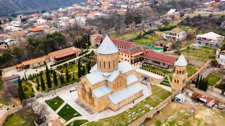
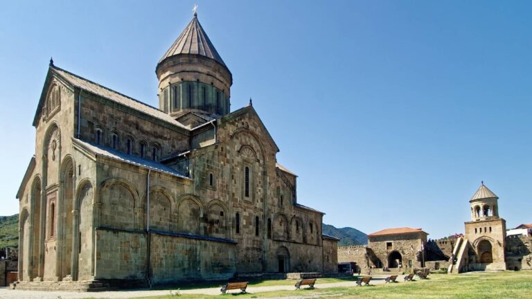
- Svetitskhoveli
- Jvari Monastery
- Armazi fortress
- Armaztsikhe ( Bagineti)
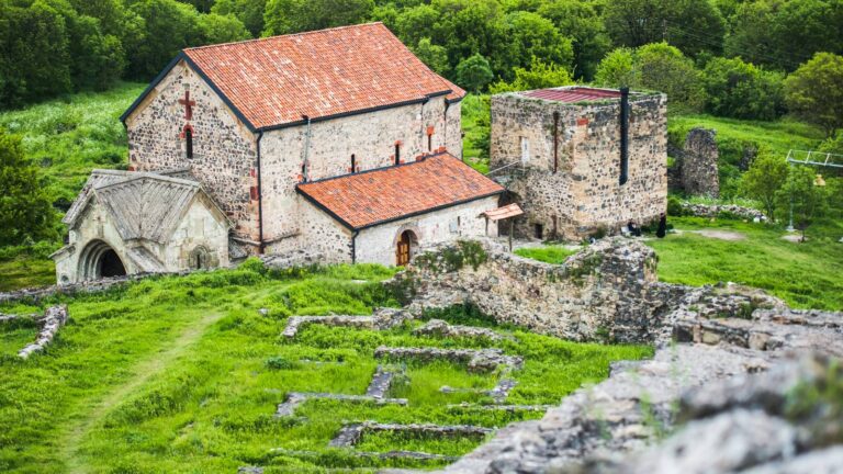
- Shiomghvime Monastery
- Ananuri complex
- Gergeti Trinity church
- Khevi Sioni
- The monuments of Truso gorge
- Shatili
- Mutso
- Mamkoda Monastery
- Ertso fortress
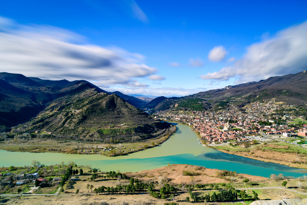
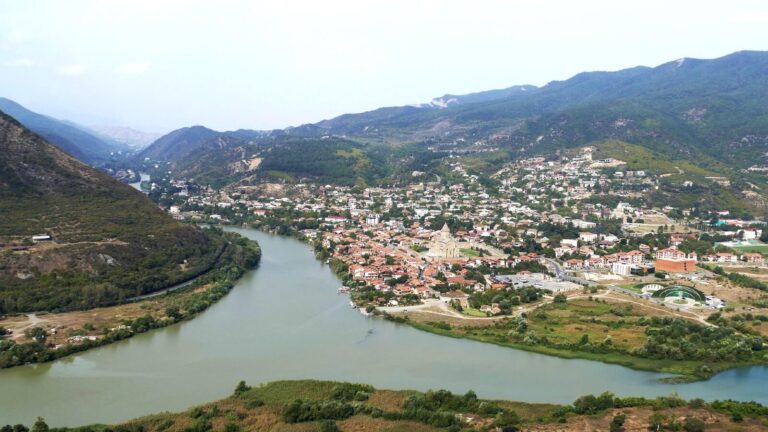
The Historical Monuments of Mtskheta are located in the cultural landscape at the Aragvi and Mtkvari Rivers’ confluence, in Central-Eastern Georgia, some 20km northwest from Tbilisi in Mtskheta.
The area consists of the Jvari Monastery, the Svetitstkhoveli Cathedral, and the Samtavro Monastery.
Mtskheta was the ancient capital of Kartli, the East Georgian Kingdom, from the 3rd century BC to the 5th century AD. It was also the location where Christianity was proclaimed as the official religion of Georgia in 337. Today it still remains the headquarters of the Georgian Orthodox and Apostolic Churches. Mtskheta is included in the list of the UNESCO World Heritage site.
Celebrations
Many religious and national holidays and different popular festivals are held here, such as Lomisoba, Kopaloba, Lasharoba, Gergetoba and etc.
Gastronomy
Mtskheta-Mtianeti cuisine is distinguished and diverse. The most popular traditional dishes are Pshavuri Khinkali, Choban Kaurma, Dambalkhacho, etc. The region is unique and attractive worldwide due to its captivating nature, music, dancing, poetry, ancient cultural sites, exciting customs, etc.
Mtskheta-Mtianeti is located in eastern Georgia and includes the following historical-geographic provinces: Khevi, Ertso-Tianeti, Pshavi, Khevsureti, Mtiuleti, Gudamakari, and partly Ksniskhevi.
Mtskheta-Mtianeti is the second most mountainous region in Georgia, only behind Racha-Lechkhumi and Kvemo Svaneti. Most of the peaks range between 3500-5000 meters (11,500-16,400 feet). The mountains in Mtskheta-Mtianeti are characterized by steep ridges, narrow valleys, and little vegetation due to the rain-shadow effect. This gives the mountains a bleak and barren feel.
The Aragvi River, which starts near Gudauri, runs through the middle of the region before merging with the Mtkvari River in Mtskheta.
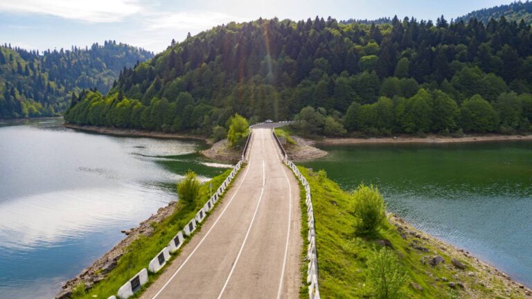
One of Georgia’s largest reservoirs–Ananuri, is located along the Aragvi River.
A part of the central Kartli plain lies in the region’s south, roughly between the villages of Mukhrani and Kotoraantkari, including Saguramo and Natakhtari. In the lowlands of Mtskheta-Mtianeti, the climate is moderately humid. There are mildly cold winters and hot, long summers. The average annual temperature is 11, and in January, it is below 0. There is a pretty humid climate in the mountains, not so characterized for real summers, and above 3300-3400m – the fresh air with its snow and glaciers.
Economy of Mtskheta Mtianeti is highly depending on Tourism. Agricultural production is also developed.

