Getting There
Saimaluu Tash is only accessible for a limited period in summer once the snows have melted, by a four-hour hike or on horseback. The trailhead is approximately 215km from Naryn city on well-maintained mountain roads, and 170km from Jalalabad on rough mountain roads – though the latter should become the more convenient option upon completion of the alternate North-South highway.
What to Expect
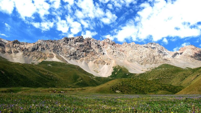
Nearly 100,000 petroglyphs carved into 10,000 basalt boulders lie spread across a high valley in Kyrgyzstan’s Jalalabad Region, the oldest estimated to be 5,000 years old. Known as Saimaluu Tash, or “embroidered stones” in Kyrgyz, these carvings depict scenes of hunting and pastoralism, worship and war, humans and gods in an overwhelming display of history that stretches from the Bronze Age into the modern era.
The area is completely unfenced and open, and visitors are allowed to camp on site (the only way to explore in depth), but increasing tourist activity may see protections put into place.
History
The rock paintings were discovered in 1902 by the military topographer N. G. Khludov. Their first study in 1903 was carried out by members of the Tashkent circle of archaeology lovers. At different times, the monument was studied by I. G. Poslavsky, B. M. Zima, G. A. Pomaskina and other scientists. A detailed description of the petroglyphs was given by A. N. Bernshtam, who published the results in the journal Soviet Ethnography.
Since 1991, a team from the Institute of History of the National Academy of Sciences of the Kyrgyz Republic, led by K. I. Tashbayeva, has been studying them. In total, more than 90,000 drawings relating to different historical periods have been discovered.
The first group consists of about 10 thousand drawings that date back to the 3rd and 2nd millennia BC and belong to the Neolithic and Bronze Ages. The stones depict (in a geometric style, that is, using rectangles or triangles) wild animals, scenes of hunting and cultivating the land.
The second group of images refers to the 1st millennium BC – the Early Iron Age. These drawings are less detailed, they are dominated by zoomorphic themes, some of them are made in the well-known “Scythian-Saka animal” style.
The third group of drawings belongs to the 1st millennium of our era.
Facilities Available
- On-site at Saimaluu Tash no services are available, though horse hire can be arranged in advance.
- The nearest tourist facilities are in the town of Kazarman approximately 40km from the trailhead, where family-run guesthouses and a small selection of restaurants and shops are available.


