Getting There
Yarkhun valley has located 489 km from Islamabad. The Swat Motorway from Lahore, Islamabad, Quetta, and Peshawar can be used to reach Yarkhun which is an easy and comfortable route.
By Air: The nearest airport to Yarkhun Valley is the Chitral Airport
By Bus: A luxury bus service has been started from Islamabad to Chitral. The bus will be fully equipped with luxury, an air conditioning system, and comfortable seats. From Chitral, you can get to Yarkhun Valley by jeep which is easily available.
By Train: If you want to go to Yarkhun valley by train from any part of the country, there is no train available to go to Yarkhun valley. So you can get off at Peshawar station or Nowshera station and go to Yarkhun valley by car, bus.
What to Expect
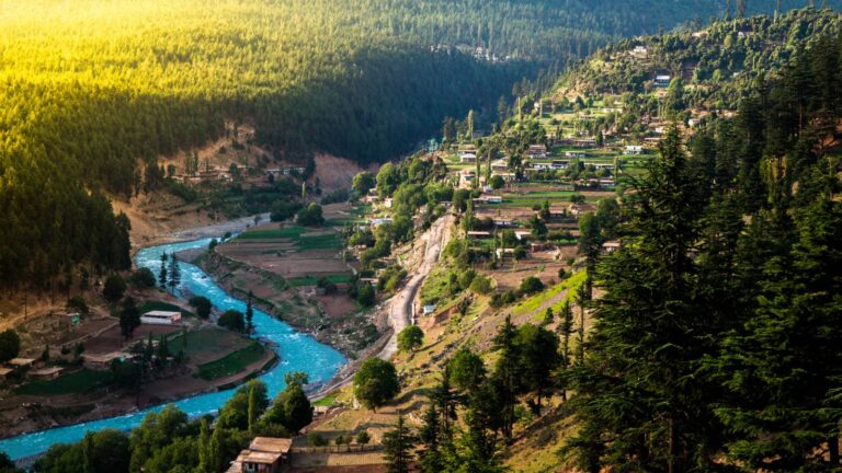
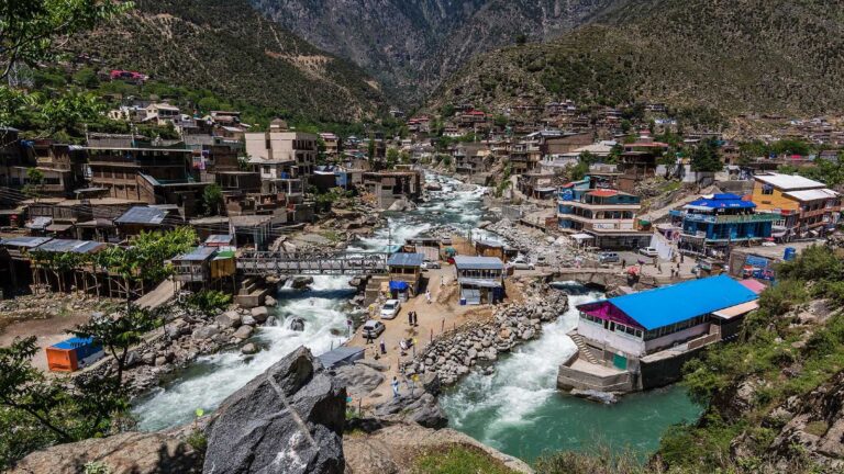
Yarkhun Valley is one of the most stunning places in the country. Located in the Upper Chitral district of Khyber Pakhtunkhwa, Yarkhun dazzles with its mountain ranges and untouched villages. The mountains of the Thoi Pass, a high-altitude pass that connects Upper Chitral with Yasin Valley in Gilgit Baltistan take you from a journey of wide wildernesses to the dreamiest destination you can think about.
Yarkhun Valley ended up being otherworldly– sand-colored snow-capped peaks and bends rise up in every direction, dotted by waterfalls, cut by icy-blue Rivers, and overflowing with spindly white-barked trees. Every farm animal and then some can be found lolling about yards and fields, and homes rely on traditional cookstoves for warmth and meals.
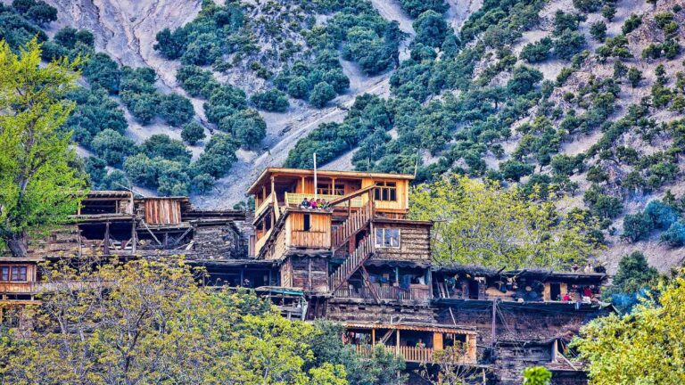
Visiting Yarkhun is like taking a step back in time, and a step into nature (both that of human and geography) at its most beautiful. Yarkhun is remote and has very little infrastructure. Farming is the major trade in these parts, and in some places, you might see more goats than people!
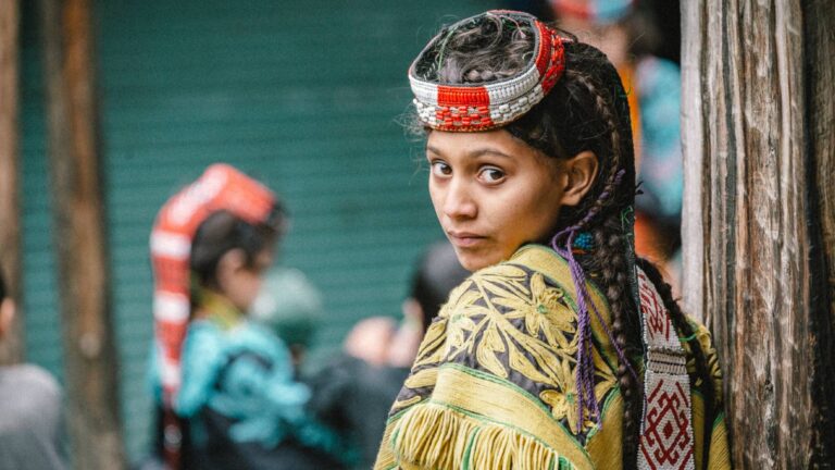
Most Yarkhunites are Ismaili Muslims, and Isma’ilism is known for being the most liberal sect of Islam.
History
The Yarkhun Valley forms the northern border of the Hindu Raj Mountains, which rise in northwestern Pakistan between the Afghan Hindu Kush and the western end of the Karakoram. The valley drains southwest toward Chitral, capital of the Chitral district of Khyber Pakhtunkhwa province, and is famous for its world champion polo team and a colorful British colonial history. At the Yarkhun’s northeastern end is Boroghil Pass, one of the very few drivable passes over the Afghan border north of the Khyber Pass.
In 1992–93, a mostly motorable road was built all the way up the valley, giving access from the Boroghil to Chitral in a 15- to 20-hour jeep ride rather than weeks of riding and walking. The people of the Yarkhun Valley are mostly Wakhi, originating from the neighboring Wakhan Corridor of Afghanistan. In Pakistan they are referred to as Gujali; they speak the Wakhi language and are Ismaili Muslims. They mostly follow the classic mountain-farming formula of goat and sheep herding and small-scale agriculture on irrigated terraces.
The ridge formed by the Yarkhun’s northern wall forms the border between Afghanistan and Pakistan, and the mountains that create the southern and eastern walls of the valley are the largest of the Hindu Raj, including Koyo Zom (6,877m), Karol Zom (6,660m). Impressive steep faces, up to 1,500m high, on numerous aspects, make these appealing as technical alpine climbing objectives. However, until 2019, the Yarkhun side of these mountains had seen no climbing activity for many decades.
Facilities Available
Following facilities are available here:
- A lot of hotels and motels are located on the road side with beautiful views of the mountains.
- Bazaars with local food and handicrafts are the main attraction of the area.
- Landline and mobile connectivity makes it comfortable for the tourists to communicate.
- Local tourist’s guides are also available for tourist facilitation.
- Local and private transport is easily available 24/7.
- Filling stations are available near to Yarkhun Valley of Chitral which includes Petrol and Diesel.
- Taxis are available in on daily rent basis.
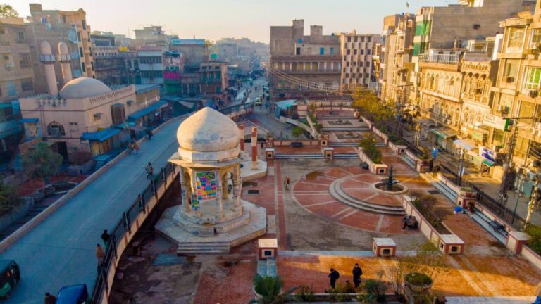
Chitral, there is the main bazaar where a number of items can be found. “Patti” is a coarse cloth that can be found in the market with embroidery done on it. Chitrali men are famous for their woolen caps, which have become a hit in the fashion world and can easily be found on the main streets of Chitral. In addition to these one can find small rugs and carpets, lots of dry fruits and gemstones, which is a real tourist pull


