
Main image: navillot from CHAROLLES, France, CC BY 2.0, via Wikimedia Commons
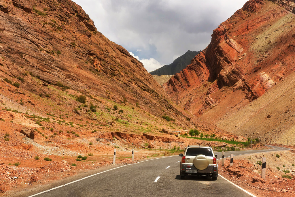
It is highly recommended to travel around the region in an off-road vehicle. The eastern Pamir is a vast mountainous and high desert region surrounded on all sides by even higher ridges. You can get to it from Vanj or Savnob.
The northern Pamir is accessible from the north via the Alai valley. It includes the Zaalay, Zulumart and Saukdara ranges. You can get to the northwestern Pamirs from Lakhsh. From Khorog, the capital of GBAO, you can get to Osh in the Kyrgyz Republic along the Pamir Highway. This picturesque road connects Gorno-Badakhshan with the Kyrgyz Republic (East Pamir Highway, 701km), and Dushanbe along the Western Pamir Highway (567km).
The road to China lies through the Kulma pass with a total length of 395.6km (Khorog – Murghab – Kulma). Occasionally, local airlines fly to Khorog Airport when weather permits. Due to the border significance of the region, foreign visitors must first obtain authorisation and be issued a permit. A full range of leisure services in the Pamirs is provided by local travel companies.
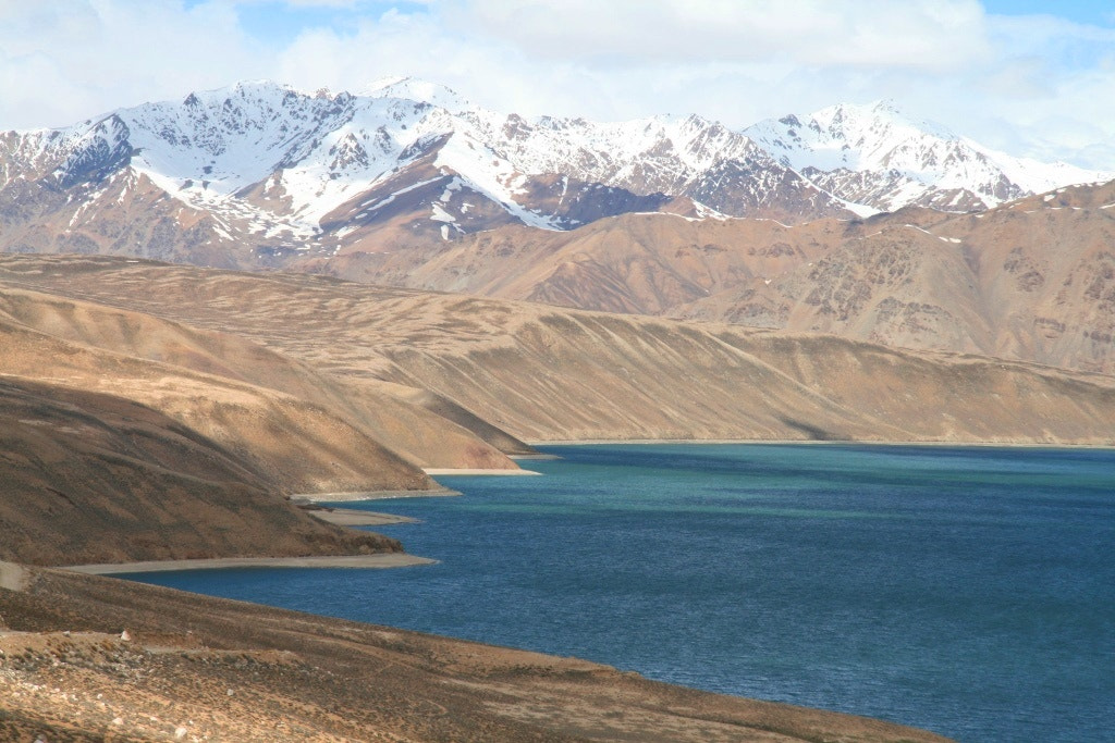
The most popular locations in the Park are Karl Marx Mountain (6723m) and Engels Peak (6507m), as well as the giants of the Hindu Kush, exceeding 7000m. These mountains all contain beautiful clear water lakes.
Scholarly research long ago established that an extensive network of well-travelled caravan routes passed through Badakhshan. A main artery of the Silk Roads, these strategic routes were of significant economic and cultural importance. The shortest route lies through the Southern Pamirs connecting Balkh with Faizabad. Along the way, a key intersection brings the “Shugnan” and “Wakhani” branches together thereby funneling trade to and from the Middle East and the West with China to the east.
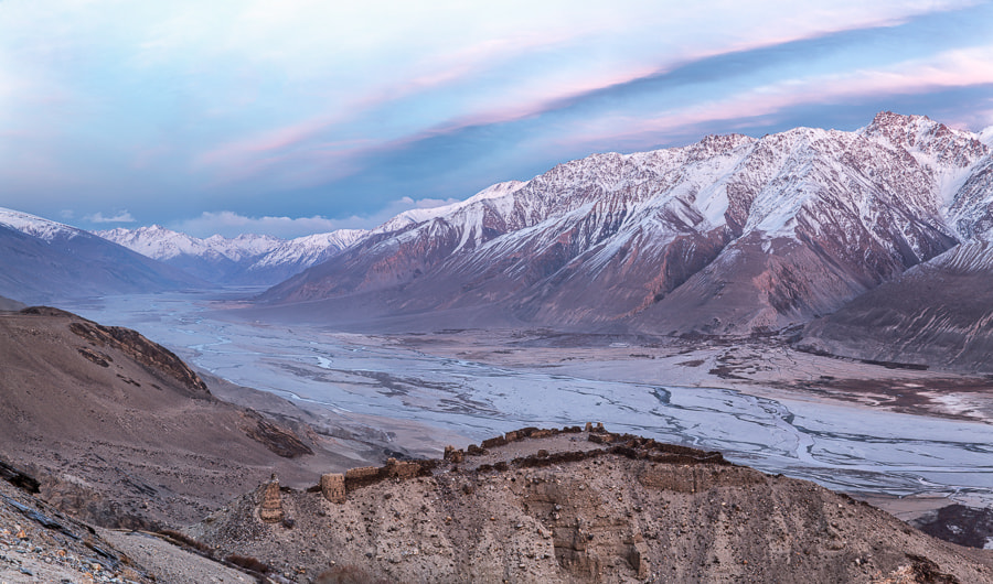
To this day, one can still see remnants of and visit ancient fortresses built to protect the caravans. These structures, mostly now in ruins, often doubled as military outposts belonging to the many different rulers and empires that controlled trade crossing these lands over centuries. The largest number of fortresses are located in the upper reaches of the Panj on sections of the Wakhan route, notably the Kaakhka and Yamchun.
Khorog is the scientific, cultural, educational, logistical and economic centre of the region. Noteworthy buildings here include the Institute of the Humanities, the Pamir Biological Institute of the Academy of Sciences of Tajikistan, Khorog State University, the Lyceum of the Aga Khan Foundation, the International University of Central Asia at Khorog, Khorog Regional Music and Drama Theatre (named after Mekhrubon Nazarov), the regional medical centre and hospitals, as well as a new regional theatre and medical college. Spiritual life is represented by the Ismaili Centre and Jamoatkhona, built in 2018.
The Pamirs are not only a mountainous region but also a geographical “concept” whose national boundaries have shifted and blurred over time depending on who controls it at a given time in history.
While falling mostly nowadays within present day Tajikistan, the Pamirs’ complex intersectionality of extreme landforms, history and nomadic peoples have resulted in Pamiri areas that extend into Afghanistan, China, Kyrgyzstan and Pakistan.
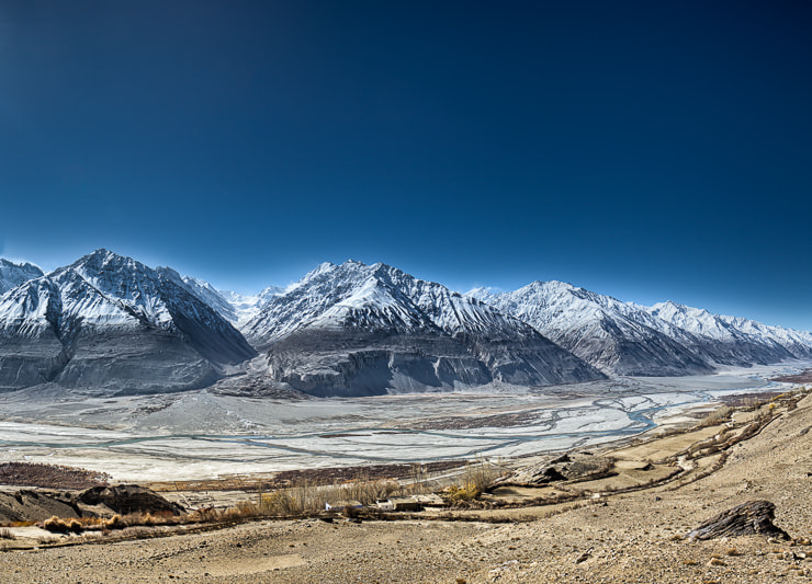
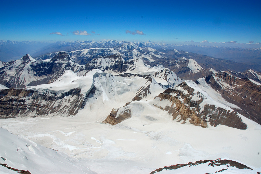
Elevation-wise, the highest point is Kongur Peak (7719m) located in the Kashgar mountains in the Chinese Pamirs. The highest point in Tajikistan and the CIS is Ismail Somoni peak (7495m). Winter temperatures in the mountains can drop to -50 degrees Centigrade.
The lowest temperature ever recorded was observed in Bulunkul (-63˚C) (Murgab district of GBAO) and in Javshangoz (-49˚C) (south- western Pamir). Some of the world’s largest glaciers (including Fedchenko glacier) are found here, whose summer melt creates fast-moving rivers. Summer in the flat parts is moderately warm.
The Gorno-Badakhshan Autonomous Oblast makes up 44% of the territory of Tajikistan, yet only 3% of the population lives here, due to its remoteness and underdeveloped economic base and infrastructure.
The main industrial areas are the processing of agricultural raw materials, stone processing, woodworking, the use of mineral waters and medicinal plants for homeopathy. There are 53 small hydroelectric plants in the region with a total capacity of 48.6 thousand kW.
Small businesses are comprised of producers engaged in sewing, meat and dairy production, confectionery, mineral water bottling and dried fruit processing. The tourism industry is underdeveloped and actively seeking funding investing and partnerships.


