Getting There
Driving, Bus
What to Expect
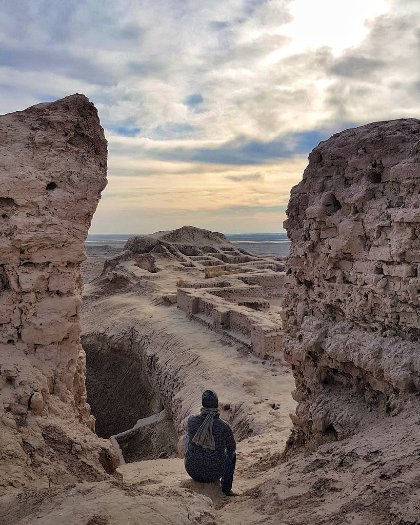
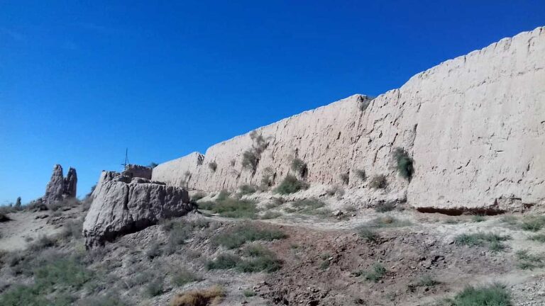
The Settlement has an area of 175,000 square metres (500 × 350 metres). Rectangular in shape, it is surrounded by fortified walls 8 to 9 metres high with a number of quadrangular towers. The settlement entrance is a complex structure situated before fortress gates. A central street (9 metres wide) that went through the whole city connected the entrance with the citadel. A hearth niche found in the fire worshippers» temple was full of pure cinder and ash.
During excavations, various adornments, including bracelets with curls shaped like ram horns, glass vessels, fragments of gypsum statues and gold leaf pieces were found in another building.
History
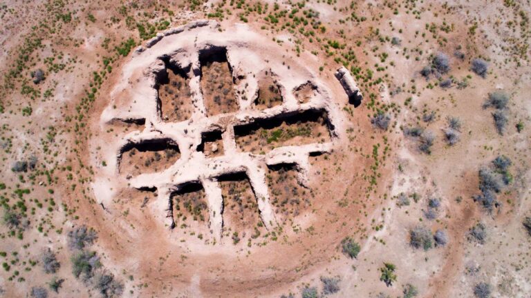
The High Palace. The main part of the palace is in the form of a truncated pyramid and is built of earth bricks. Its facades were decorated with a number of vertical setbacks and niches. Approximately 100 rooms were partially preserved through the centuries. They were used as places for ablution, chancery and armoury. Upstairs there were sanctuaries with altars and niches for funeral worship.
Facilities Available
Tourism Information, closest accommodation

