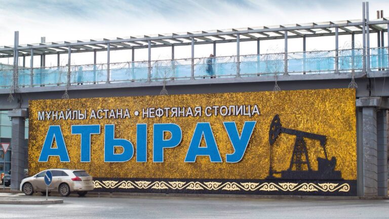
Main image: Petar Milošević, CC BY-SA 3.0, via Wikimedia Commons
The region is located along the Western Europe – Western China nationwide road corridor. 2787 km of these roads are located on the territory of the Republic, 812 km belong to the Kyzylorda region.
There is a domestic airport that hosts flights to the cities of Astana, Almaty, Atyrau, Aktau.
The region is connected with railway with a number of regions.
Any type of transport is available for tourists to get to the final destination.
The best time to visit the region is September.
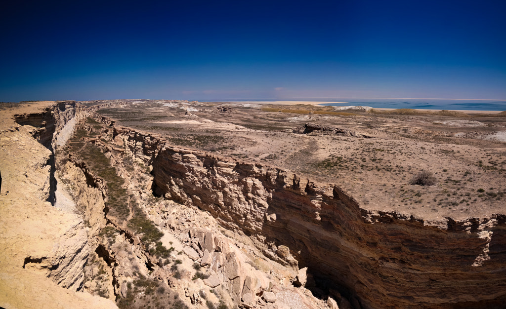
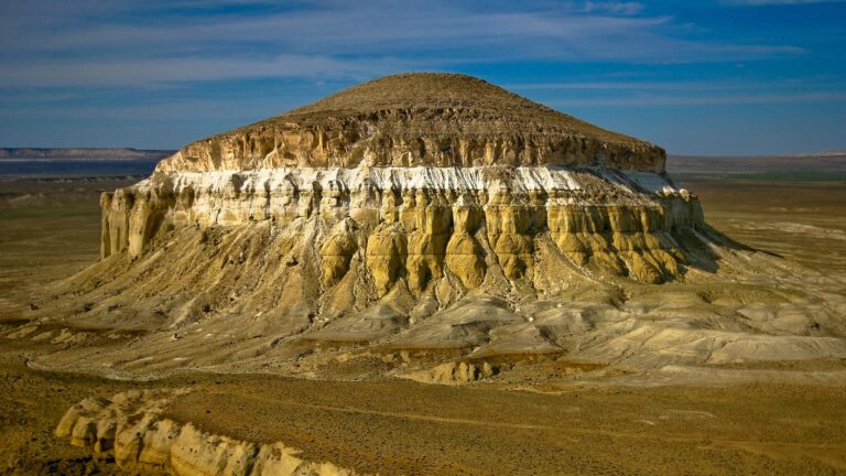
In the south, the harsh spurs of the Karatau ridge were formed. In the Barsakelmes national nature reserve one can see dense reeds and wild birds, as well as rare wild animals.
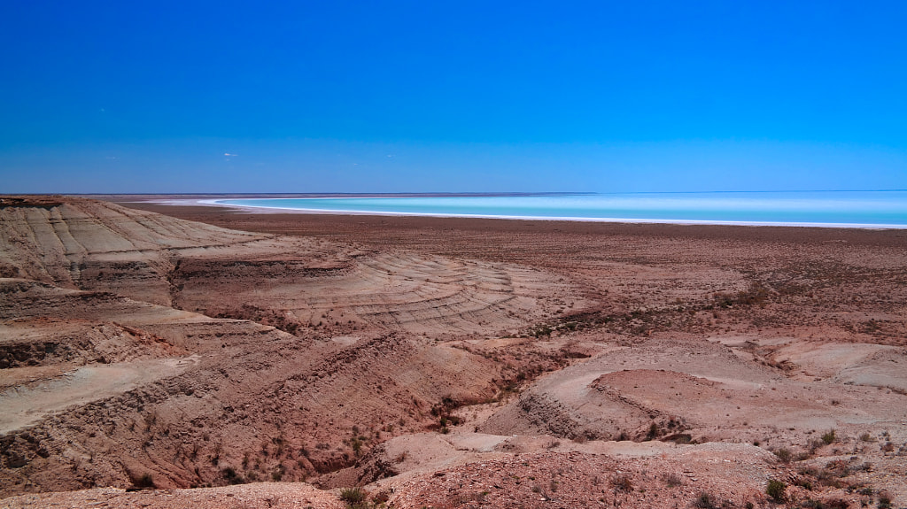
In the north, along with the turquoise waters of the Aral Sea, a sandy shore has formed. Here you can go fishing on small fishing boats and taste the aromatic soup made from the same fish.
Many ancient monuments have been preserved on the banks of the see, many of which are located along the Great Silk Road. The ruins of such ancient cities as Zhent, Syganak, Zhankent, Chirik-Rabat amaze visitors even today.
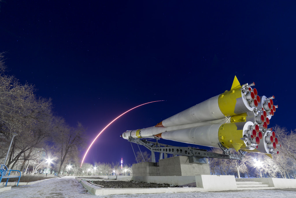
In addition, the Baikonur complex, Zhanakorgan resort are top rated tourism attractions of the region.
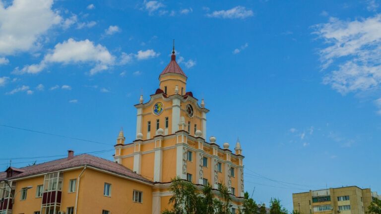
Kyzylorda region is an administrative-territorial unit located in the south of the Republic of Kazakhstan.
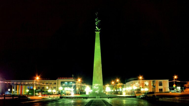
The region was formed on January 15, 1938 with the center in the city of Kyzylorda (former Petrovsk and Akmeshit). The population of the city is 215 thousand people. Since 1925 the city of Kyzylorda became the capital of the Kazakh ASSR, in 1927 the status of the capital was transferred to the city of Almaty.
On June 17, 1997, by the Decree of the President of the Republic of Kazakhstan, the Russian transcription of the city was renamed from Kyzyl-Orda to Kyzylorda, and the region to Kyzylorda region.
In a broad sense, the concept of culture is the image and spiritual essence of a nation.
Kui, which have come down from the depths of the centuries, from Korkyt-baba, the school of zhyrau Nartai and Kunebay, Sarsenbay and Zhienbay, Nurtugan was also formed and became a mirror of the culture.
In addition, in honor of people of art from the region the regional department of culture, archives and documentation annually holds concerts, festivals in various formats.
And also, the region constantly provides support to people in the field of culture, from year to year, work continues in the spiritual and cultural direction.
Kyzylorda region is located east of the Aral Sea in the lower reaches of the Syrdarya river, in the Turan basin. It borders on several regions of the Republic of Kazakhstan, including in the east and southeast with the Turkestan region, in the north with the Karaganda region, in the northwest – Aktobe region and in the southwest – Republic of Uzbekistan, in the south with the Navoi region of Uzbekistan. In terms of land volume, it occupies the 4th place in the Republic.
Much of the area is covered with sand. The soils are brown, sandy loam gray, brackish. Wormwood, betege, saxaul, zhyngyl, trees, turanga, reeds grow. 12% of the farmland is located in the floodplain of the Syrdarya River, 23% semi-desert, 65% desert zone.
The climate of the Kyzylorda region is continental with a dramatically changing climate with long hot summers and short-term cold snow. Such a climatic regime is characterized by its location within the Eurasian continent, proximity to the southern region, the specifics of the change in the atmosphere, and other factors.
There are several factors that have a major impact on the region’s economy:
- Agriculture;
- Mineral fertilizers;
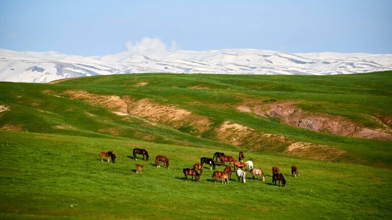
- Animal husbandry;
- Entrepreneurship.
Today, several crop and livestock farms are developing steadily in the region, and entrepreneurship is growing rapidly.
Roadside complexes, restaurant and hotel services are developing at a very high level due to the influence of individual entrepreneurs in the region.

